
A whole world of data
Or at least that's what we're aiming for. Take a look at everything we have so far.

187K
Total Swipes
232
Contributors
So many swipes, so much data
Every swipe adds up! The results of all this swiping are openly available. All you have to do is credit our contributors.See Community Page for more stats
What's your project type?
Our volunteers contribute by helping us discover, evaluate, and validate data in various ways. Each project type has its own use-case and data structure. See what best suits your needs.

Find Features
Know where the areas are with features - e.g. buildings, roadways, waterways
Ignore areas with no features
Ready to go for the HOT Tasking Manager


Compare Dates
See where imagery has changed between two dates
Assess damaged areas after an event
Monitor land-use change over time
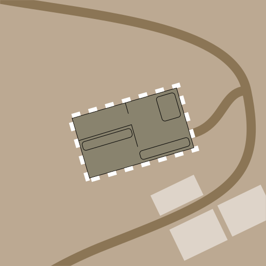
Validate Footprints
Assess the quality of a mapping campaign
Identify which features have been mapped correctly, and which have not.
Focus future efforts on features that need improving

Check Completeness
Compare mapped objects against aerial imagery to identify missing map data
Identify which areas are already completely mapped
Allow humanitarian organizations to focus mapping efforts to areas that most need attention

Assess Image
Find features like potholes, or classify attributes like disaster damage to buildings
Check the accuracy of machine learning detections
Create better training data for computer vision techniques

View Streets
Explore ground-level photos
Find relevant features or qualify their characteristics
Capture more detailed information on local communities
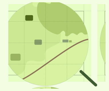
Locate Objects
Localize the location of features like rooftops, solar panels, or waterways within satellite image tiles
Help improve training data that teaches machine learning models where features are located in imagery
Capture more detailed information on local communities
Explore the data
Last updated: Oct 4, 2026, 3:33:41 AM UTC
The data files always contain the most up-to-date data.
The data files always contain the most up-to-date data.
Project status
Project type
Date from
Date to
Scale
137 projects
61,947,000 area mapped
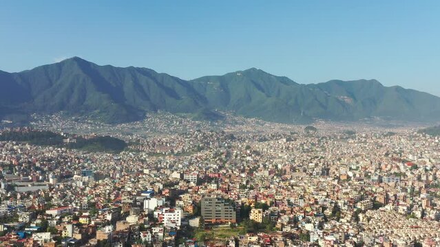
Validate Footprints - Test Sep 24 - Lalitpur, Nepal (1) Togglecorp (test)
Validate Footprints
Active
Lalitpur, Nepal
Togglecorp (test)
Sep 24, 2026
1
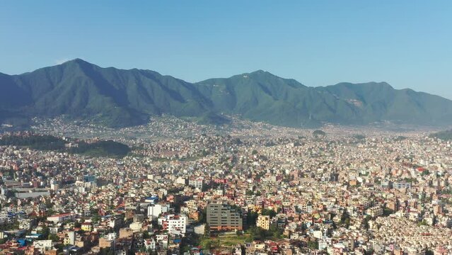
Validate Footprints - Test Sep 24 Second One - Lalitpur, Nepal (1) Togglecorp
Validate Footprints
Active
Lalitpur, Nepal
Togglecorp
Sep 24, 2026
0
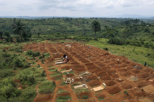
Find Features - Find - Cemeteries - Ituri, DR Congo (1) Médecins Sans Frontières
Find Features
Active
Ituri, DR Congo
Médecins Sans Frontières
Sep 22, 2026
2
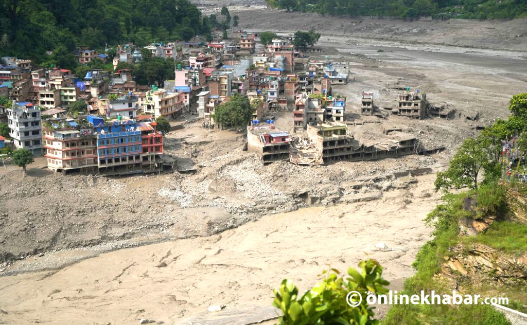
Validate Footprints - Flooded House - Nuwakot (1) Togglecorp
Validate Footprints
Active
Nuwakot
Togglecorp
Sep 16, 2026
0
Validate Footprints - Earthquake Effect - Gorkha, Nepal (1) Togglecorp
Validate Footprints
Active
Gorkha, Nepal
Togglecorp
Sep 16, 2026
1
Validate Footprints - Sukumbasi Migration - Tikathali (1) Togglecorp
Validate Footprints
Active
Tikathali
Togglecorp
Sep 16, 2026
0
Assess Images - Building types - Dar es Salaam, Tanzania (1) HeiGIT
Assess Image
Active
Dar es Salaam, Tanzania
HeiGIT
Sep 16, 2026
0
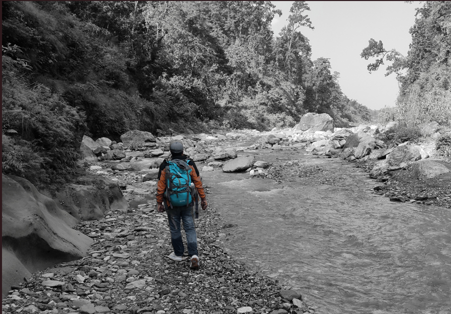
Validate Footprints - test validate Nepal Floods 3 options - nepal (1) HOT
Validate Footprints
Active
nepal
HOT
Sep 11, 2026
0

Locate Objects - Test_Sep8 - Lalitpur, Nepal (1) Togglecorp
Locate Objects
Active
Lalitpur, Nepal
Togglecorp
Sep 8, 2026
0
Download all projects
Project Type's Stats
Information on all projects of a specific project type
CSV
0.6 kB
Projects Overview
Information on all projects
CSV
4.6 MB
Projects with Centroid
Information on all projects with the project centroid
GEOJSON
0.7 MB
Projects with Geometry
Information on all projects with the project geometry
GEOJSON
6.1 MB
Our license
MapSwipe data is released under a "liberal" non-reciprocal license (Creative Commons Attribution). This only requires that users acknowledge the source. You can do whatever you want with the data, just make sure to credit the MapSwipe contributors
Have other questions?
Get in touch with us! Share feedback, explore project types, or dive into MapSwipe analytics. We're here to assist you!
